


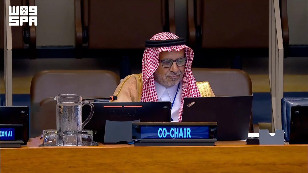
New York hosted the 16th session of the United Nations Committee of Experts on Global Geospatial Information Management (UN-GGIM), where Saudi Arabia participated through the General Authority for Mapping and Geospatial Information.
According to SPA, the Saudi delegation was led by Dr. Eng. Mohammed bin Yahya Al-Sayel, President of the General Authority for Mapping and Geospatial Information. Al-Sayel emphasized the importance of international cooperation, the development of an integrated global geospatial information management system, and the use of artificial intelligence and modern technologies to support decision-making and sustainable development.
Saudi Arabia detailed its efforts in implementing the United Nations Integrated Geospatial Information Framework (UN-IGIF) and developing national spatial data standards, legal frameworks, and policies to improve data quality, interoperability, and efficient information exchange. The participation covered topics including the integration of geospatial and statistical information, land management, hydrographic and maritime information, the Global Geodetic Reference Frame, cloud computing, digital twins, and artificial intelligence.
The Kingdom highlighted its support for the Global Geodetic Reference Frame and its contribution to the Arab Geodetic Reference Frame (ARABREF) initiative to develop geodetic infrastructure and capacity building. Regarding geographical names, Saudi Arabia stressed the importance of standardization and preservation as part of national and cultural identity, utilizing modern technologies to maintain linguistic characteristics and strengthen data sovereignty.
Additionally, Saudi Arabia explained the latest developments in establishing the UN Geospatial Ecosystem center in Riyadh. This center will coordinate with UN geospatial centers in Bonn, Germany, and Deqing, China, to serve as a platform for technical support, knowledge exchange, and innovation for member states.
Who led the Saudi delegation at the UN-GGIM meeting? The Saudi delegation was led by Dr. Eng. Mohammed bin Yahya Al-Sayel, who serves as the President of the General Authority for Mapping and Geospatial Information. During the session, he focused on the necessity of strengthening international cooperation and utilizing artificial intelligence and modern technologies to assist in sustainable development and decision-making processes.
What frameworks and standards did Saudi Arabia discuss during the session? Saudi Arabia detailed its implementation of the United Nations Integrated Geospatial Information Framework (UN-IGIF). The Kingdom also discussed the development of national spatial data standards, legal frameworks, and policies intended to enhance the quality and integrity of data, improve system interoperability, and ensure the efficient exchange of information.
What is the purpose of the UN Geospatial Ecosystem center in Riyadh? The center in Riyadh is designed to be a platform for innovation, knowledge exchange, and the provision of technical support to member states. It will operate in coordination with other United Nations geospatial centers located in Deqing, China, and Bonn, Germany.
How is Saudi Arabia contributing to geodetic and geographical standards? Saudi Arabia supports the Global Geodetic Reference Frame and participates in the Arab Geodetic Reference Frame (ARABREF) to build geodetic infrastructure. Furthermore, the Kingdom emphasizes the standardization of geographical names to preserve national and cultural identity while using modern technology to strengthen data sovereignty.