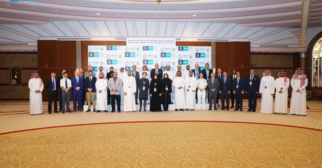
The Kingdom of Saudi Arabia, represented by the General Authority for Survey and Geospatial Information (GEOSA), successfully concluded its hosting of the 10th Meeting of the Regional Organization for the Protection of the Marine Environment (ROPME) Sea Area Hydrographic Commission (RSAHC10) in Jeddah from November 26 to 28, 2024. The three-day gathering convened regional and international stakeholders to advance marine geospatial cooperation and maritime safety across the ROPME Sea Area.
Context and Background
Saudi Arabia’s hosting of the RSAHC10 underscores its leadership in hydrographic and marine surveying on both regional and global levels. The Kingdom has played a pivotal role in providing marine geospatial data, producing and disseminating nautical charts, and promoting maritime safety to protect lives at sea. Through these contributions, Saudi Arabia, represented by GEOSA, has established itself as the chair of the ROPME Hydrographic Commission, operating under the auspices of the International Hydrographic Organization (IHO). The RSAHC includes member states from the Gulf Cooperation Council (GCC), Iraq, Pakistan, and Iran, along with affiliated members from the United States, the United Kingdom, and France.
Key Details and Decisions
Chairman of the commission, Eng. Saud Al-Ruwais, emphasized the commission’s commitment to coordinating the activities of member states’ hydrographic offices. Key responsibilities include producing and updating both digital and paper nautical charts, publishing navigational tools such as tide tables, managing navigational warnings, and broadcasting maritime safety information. During the meeting, the Islamic Republic of Iran was elected as the Vice Chair of the commission, while Saudi Arabia was appointed as the regional ambassador to oversee Marine Spatial Data Infrastructure (MSDI) initiatives in alignment with UN geospatial information goals. Additionally, the Sultanate of Oman was chosen as the coordinator for implementing the S-100 marine data model under universal hydrographic standards.
International Impact and Participation
Director of the International Hydrographic Organization, Luigi Sinapi, along with representatives from international organizations and leading global companies specializing in hydrographic surveying, attended the event. Their participation underscored the importance of this gathering in advancing global marine geospatial efforts. The commission also prioritizes developing marine geospatial infrastructure, enhancing data management, and strengthening national capabilities in hydrographic surveying, aligning with United Nations geospatial data goals.
Vision 2030 Alignment
Saudi Arabia’s leadership in regional hydrographic coordination directly supports Vision 2030 by strengthening maritime safety and geospatial infrastructure, which are vital to the Kingdom’s growing maritime economy and global trade ambitions. By enhancing cooperation among member states and aligning with international standards, Saudi Arabia continues to position itself as a responsible global steward of marine environments, contributing to sustainable development and economic diversification under Vision 2030.
20 Questions
Q1. What was the RSAHC10 meeting?
A1. The RSAHC10 was the 10th Meeting of the ROPME Sea Area Hydrographic Commission, hosted by Saudi Arabia from November 26 to 28, 2024, in Jeddah, focusing on marine geospatial coordination.
Q2. Who hosted the RSAHC10 meeting?
A2. The Kingdom of Saudi Arabia, represented by the General Authority for Survey and Geospatial Information (GEOSA), hosted the RSAHC10 meeting in Jeddah.
Q3. What is the ROPME?
A3. ROPME stands for the Regional Organization for the Protection of the Marine Environment, which coordinates environmental and hydrographic efforts in the Persian Gulf and Sea of Oman.
Q4. What is the role of the IHO in this meeting?
A4. The International Hydrographic Organization (IHO) provides the auspices under which the ROPME Hydrographic Commission operates, ensuring global hydrographic standards are upheld.
Q5. Which countries are members of the RSAHC?
A5. The RSAHC includes member states from the Gulf Cooperation Council (GCC), Iraq, Pakistan, and Iran, with affiliated members from the US, UK, and France.
Q6. What key decision was made about Iran during the meeting?
A6. The Islamic Republic of Iran was elected as the Vice Chair of the commission, reflecting cooperative regional governance in hydrographic matters.
Q7. What role was Saudi Arabia appointed to during the meeting?
A7. Saudi Arabia was appointed as the regional ambassador to oversee Marine Spatial Data Infrastructure (MSDI) initiatives aligned with UN geospatial goals.
Q8. What role was Oman given at the RSAHC10?
A8. The Sultanate of Oman was chosen as the coordinator for implementing the S-100 marine data model under universal hydrographic standards.
Q9. Who is Eng. Saud Al-Ruwais?
A9. Eng. Saud Al-Ruwais is the Chairman of the ROPME Hydrographic Commission, emphasizing coordination of member states’ hydrographic activities.
Q10. What is the S-100 marine data model?
A10. The S-100 is a universal hydrographic data model that standardizes marine geospatial information used for navigation and maritime safety.
Q11. Who is Luigi Sinapi?
A11. Luigi Sinapi is the Director of the International Hydrographic Organization, who attended the RSAHC10 to support global marine geospatial efforts.
Q12. What is the primary goal of the RSAHC?
A12. The primary goal is to coordinate hydrographic activities among member states, including producing nautical charts, tide tables, and maritime safety information.
Q13. How does this meeting support maritime safety?
A13. It supports maritime safety by improving nautical charts, navigational warnings, and marine geospatial data, which protect lives at sea.
Q14. What is MSDI?
A14. MSDI stands for Marine Spatial Data Infrastructure, which organizes marine geospatial data to support decision making and sustainable development.
Q15. Which Saudi authority represents the Kingdom at the RSAHC?
A15. The General Authority for Survey and Geospatial Information (GEOSA) represents Saudi Arabia in hydrographic and geospatial matters.
Q16. What are nautical charts used for?
A16. Nautical charts are maps used for maritime navigation, showing depths, coastlines, hazards, and aids to navigation to ensure safe passage.
Q17. Why is the RSAHC meeting important for the region?
A17. It enhances regional cooperation on hydrography and marine environment protection, directly impacting maritime trade and safety in the Gulf and beyond.
Q18. How does the RSAHC align with UN goals?
A18. The commission aligns with UN geospatial information goals by promoting data management and national capabilities in hydrographic surveying.
Q19. What is the significance of Saudi Arabia’s hosting?
A19. Saudi Arabia’s hosting underscores its leadership in hydrographic surveying and its commitment to regional stability and maritime safety under Vision 2030.
Q20. What is the RSAHC’s role in developing capabilities?
A20. The commission strengthens national capabilities in hydrographic surveying and marine geospatial infrastructure, supporting technological advancement in the region.
Reader Feedback
We value your thoughts. Please share your feedback on this article.
Your feedback helps us improve our coverage.