


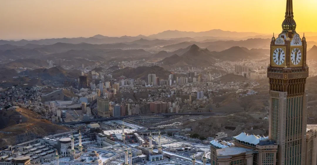
The Royal Commission for Makkah City and Holy Sites has leveraged advanced geospatial data and business intelligence tools to enhance city management and improve services for pilgrims, particularly during the Hajj and Umrah seasons. These technologies enable the commission to monitor movement, update maps, and provide critical spatial information to operational entities and beneficiaries, ensuring efficient management of Makkah and its holy sites.
Context and Background
Makkah, the holiest city in Islam, attracts millions of pilgrims annually for Hajj and Umrah. Managing such a vast influx of visitors requires sophisticated tools to ensure safety, efficiency, and a seamless experience. The Royal Commission for Makkah City and Holy Sites has embraced geospatial data and business intelligence to meet these challenges, particularly during peak seasons.
Key Details
During the 1447 AH Hajj season, the commission managed data for over 20,000 landmarks, locations, and services on digital maps. It developed and managed more than 20 interactive maps of landmarks and services in the holy sites, the central area, and the Grand Mosque. Additionally, the commission reviewed 8,248 Hajj-season points of interest on Balady maps, ensuring accurate and up-to-date information for pilgrims and visitors.
Implications and Impact
The use of geospatial data has significantly enhanced the management of Makkah and its holy sites. The commission’s traffic status and situational awareness platform monitored nine million traffic-status images and connected 419 bus stations to live schedules in real time during the 1447 AH Hajj season. This level of monitoring ensures smoother traffic flow and better crowd management, crucial for the safety and convenience of pilgrims.
20 Questions
Q1. What is the Royal Commission for Makkah City and Holy Sites?
A1. The Royal Commission for Makkah City and Holy Sites is a government body responsible for managing and developing Makkah and its holy sites to ensure a seamless experience for pilgrims.
Q2. What technologies does the commission use?
A2. The commission uses geospatial data and business intelligence tools to monitor movement, update maps, and provide spatial information.
Q3. How does the commission use geospatial data?
A3. The commission uses geospatial data to monitor changes across the road network, review locations, and update maps and digital platforms.
Q4. What are the benefits of using geospatial data?
A4. Geospatial data enhances city management, improves traffic flow, and ensures accurate information for pilgrims and visitors.
Q5. How many landmarks were managed during the 1447 AH Hajj season?
A5. The commission managed data for over 20,000 landmarks, locations, and services on digital maps.
Q6. What is the Balady maps?
A6. Balady maps are digital maps used by the commission to review and update points of interest for pilgrims and visitors.
Q7. How many points of interest were reviewed on Balady maps?
A7. The commission reviewed 8,248 Hajj-season points of interest on Balady maps.
Q8. What is the traffic status and situational awareness platform?
A8. It is a platform used by the commission to monitor and analyze traffic and crowds in real time.
Q9. How many traffic-status images were monitored during the 1447 AH Hajj season?
A9. The platform monitored nine million traffic-status images during the 1447 AH Hajj season.
Q10. How many bus stations were connected to live schedules?
A10. The platform connected 419 bus stations to live schedules in real time.
Q11. What is the digital spatial guidance platform?
A11. It is a platform that provides guidance maps and locations to assist pilgrims and visitors.
Q12. How many guidance maps are included in the digital spatial guidance platform?
A12. The platform includes 11 guidance maps.
Q13. How many locations are available on the digital spatial guidance platform?
A13. The platform includes more than 5,000 locations.
Q14. How many uses were recorded for the guidance maps?
A14. The guidance maps recorded 537,197 uses during the 1447 AH Hajj season.
Q15. Which map was the most used?
A15. The Grand Mosque map was the most used, with 233,590 uses.
Q16. What was the second most used map?
A16. The Makkah administrative boundaries map was the second most used, with 69,275 uses.
Q17. What was the third most used map?
A17. The map of important sites and camps was the third most used, with 44,084 uses.
Q18. How does the commission ensure the accuracy of maps?
A18. The commission regularly reviews and updates locations and points of interest on maps and digital platforms.
Q19. What is the role of business intelligence in city management?
A19. Business intelligence helps the commission analyze data, monitor trends, and make informed decisions to enhance city management.
Q20. How does the commission’s work support Saudi Arabia’s Vision 2030?
A20. The commission’s work aligns with Vision 2030 by leveraging technology to improve city management, enhance the pilgrim experience, and position Makkah as a leading global destination.
Vision 2030 Alignment
The Royal Commission for Makkah City and Holy Sites’ use of geospatial data and business intelligence aligns with Saudi Arabia’s Vision 2030 by enhancing city management and improving the experience for pilgrims. These advancements position Makkah as a leading global destination, reflecting the Kingdom’s commitment to innovation, efficiency, and excellence in service delivery.
Reader Feedback
We value your thoughts. Please share your feedback on this article.
Your feedback helps us improve our coverage.